Here we present a brief synopsis of Sanagasta, its history, culture, customs, and more.
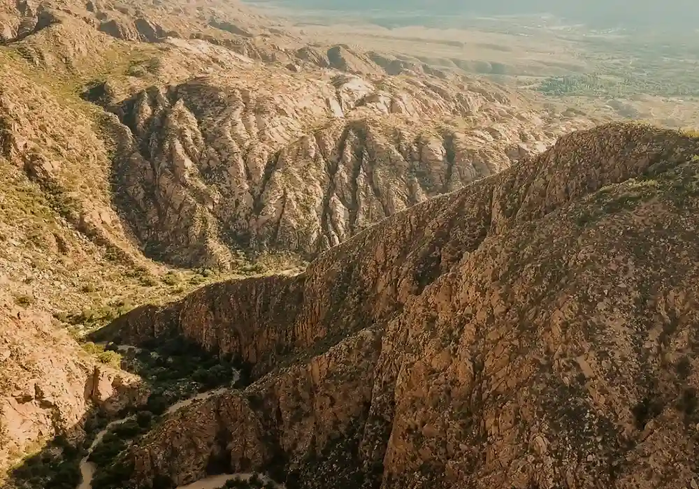
Sanagasta is one of the 18 departments of the province of La Rioja, in northwestern Argentina. It borders the departments of Famatina to the northwest, Castro Barros and San Blas de Los Sauces to the north, Capital to the west, and Chilecito to the east. Its head town is Villa Sanagasta, located about 30 km from the provincial capital city of La Rioja.
Sanagasta is accessed exclusively via National Route No. 75, a paved and winding road that skirts the Velasco mountain range and its gorges, offering visitors a generous number of characteristic views of the region. The route connecting Sanagasta with the Capital Department also passes through remarkable works of both nature (Los Sauces Dam) and engineering (Route 75 Tunnels).
There is more than one version regarding the origin of the name Sanagasta, but the most widely accepted is the one recorded by La Rioja historian Dardo de la Vega Díaz in his writings on local toponymy. He explains that the word Sanagasta is formed from the terms Yana and Gasta, meaning “black” and “village” respectively. In a more literal sense, Sanagasta could be translated as “Village of the Blacks.” The pronunciation of the name gradually changed over the past 400 years until reaching its current form.
At a rather somber point in its history, Sanagasta was temporarily known as Villa Bustos, and to this day traces of this name can still be found, especially on the internet. However, thanks to the determination of the local inhabitants, the place succeeded in reclaiming its “original” name.
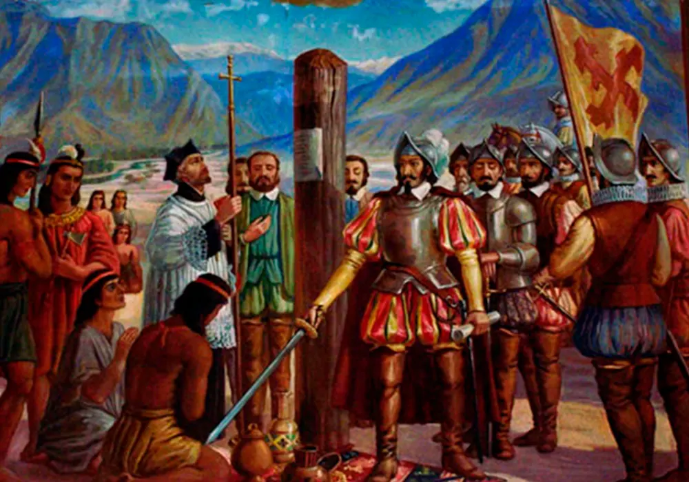
During their journey through these lands, the expedition led by the Spaniard Ramírez de Velasco carried out a detailed exploration of what was then called the “province of Sanagasta,” a task that (according to both oral and written historical sources) took nearly ten days. It was here that the explorers first came into contact with the native inhabitants who occupied different areas and settlements of the valley.
Once this stage of reconnaissance was completed, the entourage continued its march southward, leaving the valleys behind and heading toward the region known as Yacampis. There, on May 20, 1591, the City of All Saints of New Rioja would be founded.
The term Sanagasta was already in use in official documents during the period of Hispanic colonization. In letters addressed to the King of Spain, Don Juan Ramírez de Velasco (founder of the city of La Rioja) mentioned having ventured into the area of Sanagasta, a vast region that encompassed not only the present valleys and mountains, but also broad sections of the plain where today the provincial capital is located.
Throughout its more than 400 years of history, Sanagasta has been a cradle of integration between the Old and New Worlds, giving rise to the local criollo culture that is known today. At present, the department is chosen as a destination of tranquility and peace by those seeking a more relaxed lifestyle or a moment of rest.
Although Sanagasta does not have a formally recorded founding act like other towns, it was deemed necessary to establish a symbolic date to represent its origin and allow for the commemoration of its historical path. The date chosen was May 10, coinciding with the moment when the first Spanish explorers established contact with the native peoples of the area, ten days before the founding of the provincial capital of La Rioja.
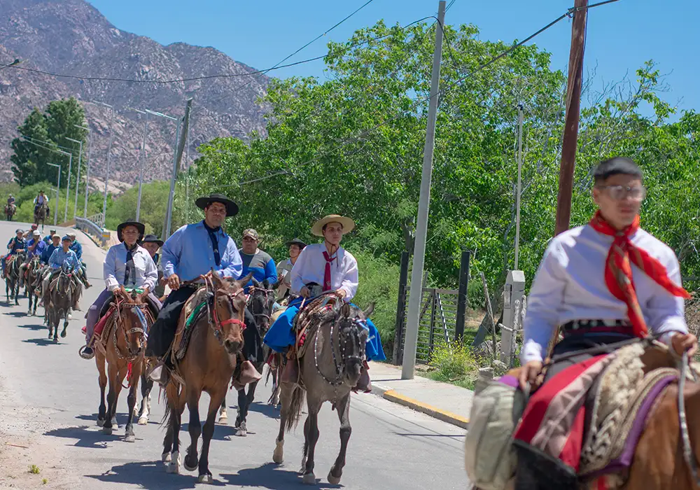
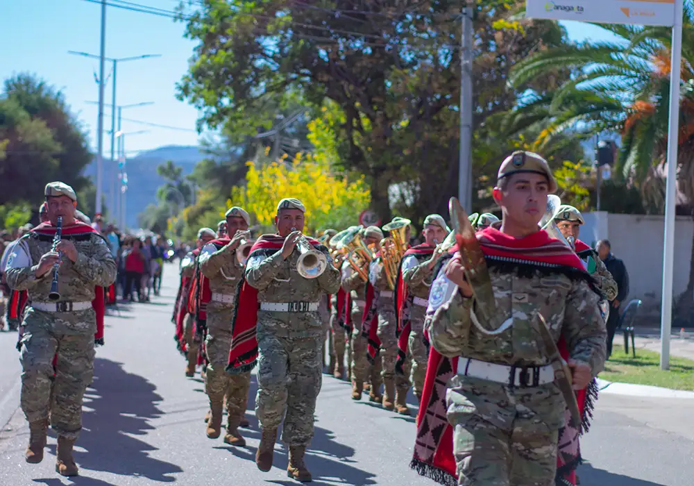
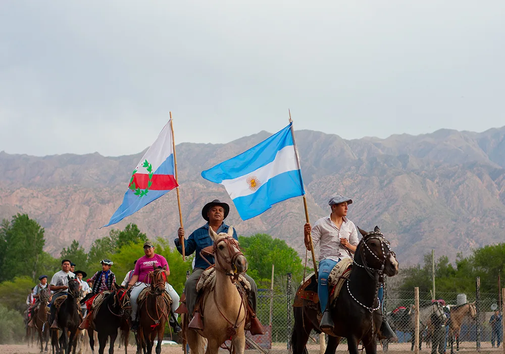
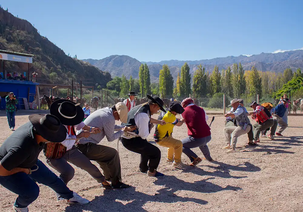
Through Ordinance No. 46, approved on April 11, 1985, the Municipal Council designated May 10 as Sanagasta Day. Each year, the anniversary is celebrated with institutional ceremonies and popular festivities, the highlight being the traditional civic-military parade that brings together schools, security forces, cultural associations, and the local community.
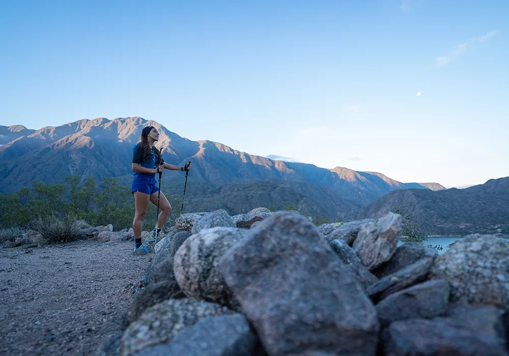
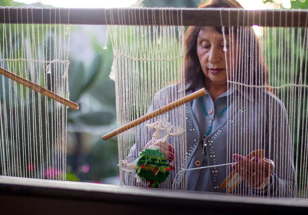
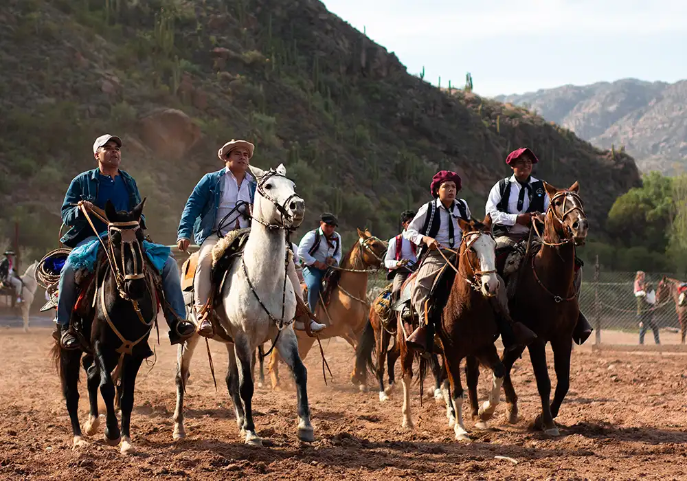
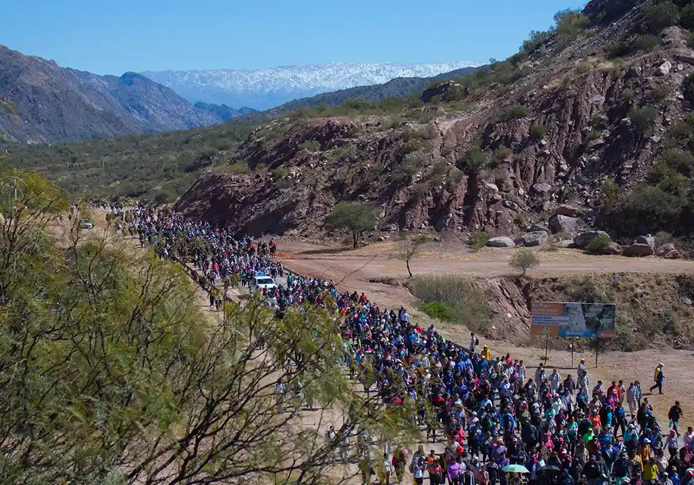
Between the 1st and 2nd centuries CE, the region now occupied by Sanagasta was the setting for the development of the so-called Sanagasta culture, related to the Diaguita-Capayán peoples (who in turn maintained strong ties with the Inca Empire). This society stood out for its mastery of terraced agriculture, the herding of camelids (llamas and guanacos), and the gathering of wild fruits such as algarrobo (carob) and chañar.
They lived in fortified villages (pucarás), built with pirca (stone walls), and managed advanced irrigation systems through canals and terraces. Their worldview was expressed in complex funerary rituals that included offerings, ritual urns, animal sacrifices, and a clear belief in the continuity of life after death.
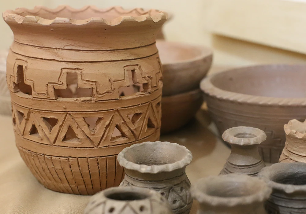
One of the greatest achievements of the Diaguita people was pottery: they created pitchers, urns, and vessels with sophisticated shapes and decorations, especially in reddish tones and geometric motifs. The famous jarro pato (“duck-shaped jug”) is an emblematic piece of that ceramic tradition. They also worked with metals such as copper and silver, carved stone into tools like axes and mortars, and developed textiles using animal fibers as well as basketry techniques.
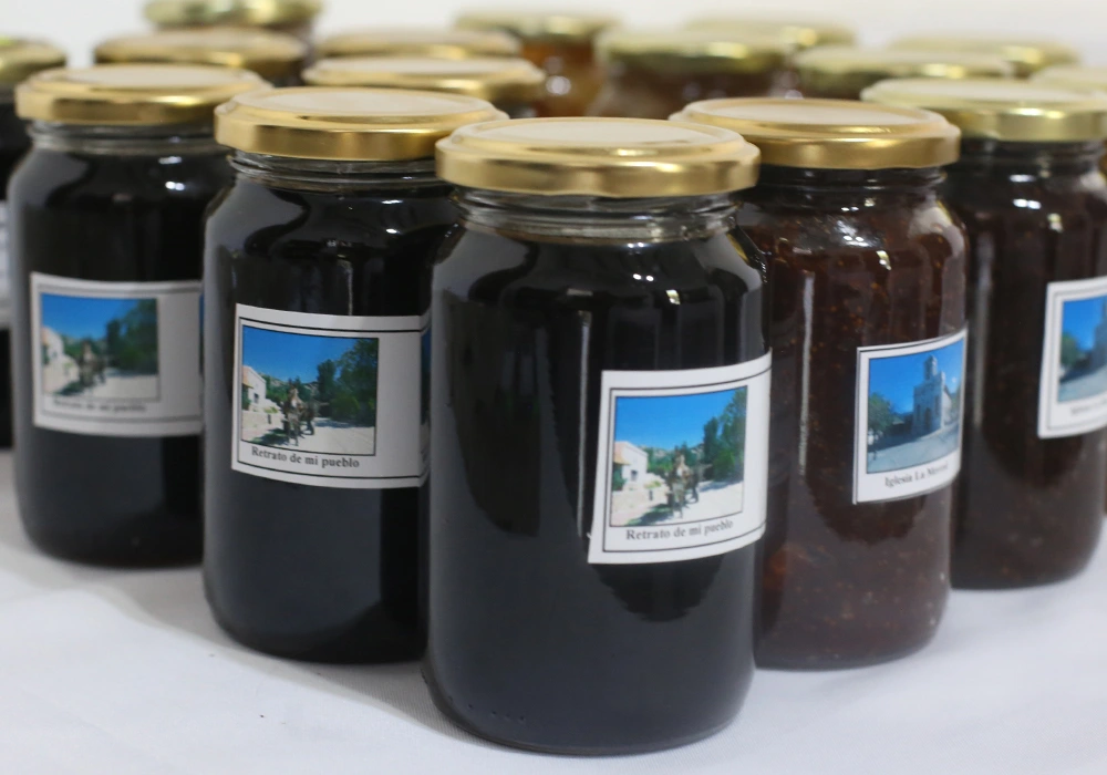
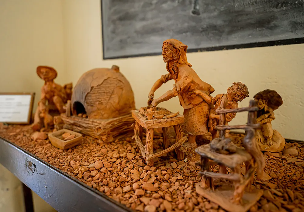
These ancestral techniques remain alive in Sanagasta’s artisanal production. Ceramic works, textiles, ponchos, belts, and basketry can still be appreciated. Traditional rural tools such as sulkys (small horse-drawn carts), plows, and trapiches (sugar mills) are also exhibited, forming part of the agricultural heritage and the collective memory of the area brought from the Old World.
From the colonists came the knowledge of raising new livestock such as goats, cattle, pigs, and sheep, along with horse taming and care—still pillars of Sanagasta’s rural life. The inhabitants of the countryside preserve traditional herding methods and farming practices passed down through generations.
New agricultural techniques were also introduced, along with a variety of plants for use and benefit, such as wheat, barley, oats, poplar, sugarcane, and olive trees. However, nothing left a deeper mark than the adoption of the vine and the winemaking culture, which went on to characterize many of its localities.
Of all popular tales, the best known is the Legend of the Chaya, which has withstood the test of time and evolved into various celebrations throughout the province. Sanagasta comes alive during festivities such as the Sanagasteño Chayero Festival and the traditional chayas barriales—vibrant expressions of the Riojan carnival where music, dance, and regional cuisine blend together.
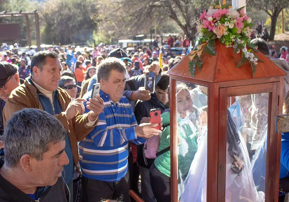
Another cultural milestone is the pilgrimage of the Virgen India (“Indian Virgin”), a procession of about 35 km toward the provincial capital that fuses ancient indigenous devotions with expressions of popular Christianity. These celebrations keep alive the syncretic spirit of the region, where the ancestral and the contemporary coexist in harmony.
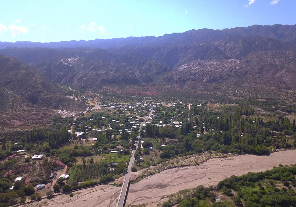
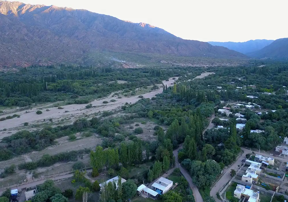
Departmental capital and main hub of urban, administrative, and cultural life. It is nestled in a narrow valley surrounded by low sierras, which gives it a singular and scenic visual composition. It is located only 27 km from the provincial capital, making it the closest urban area to it.
Situated at approximately 29°17′ south latitude and 66°58′ west longitude, it lies 1,080 meters above sea level. Its climate is temperate and dry, with moderate winds coming mainly from the south and west, especially noticeable during winter due to their coldness and in summer for their intensity.
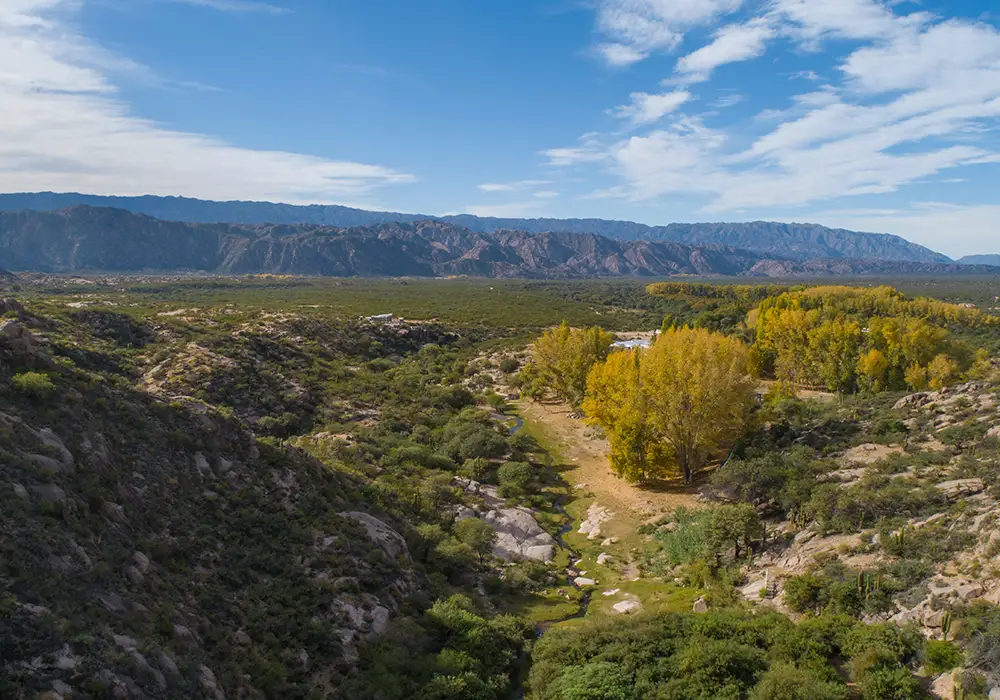
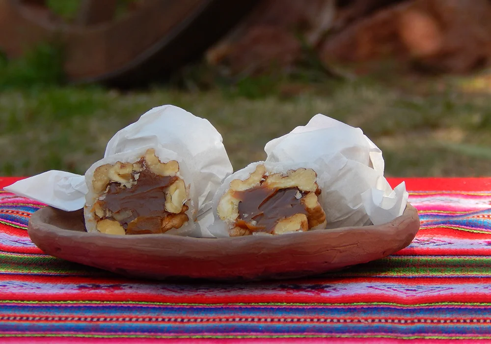
Located north of Villa Sanagasta, the locality of Huaco preserves a strong rural and agricultural imprint. Its surroundings are characterized by fertile soils destined for the cultivation of walnut trees, vines, and olive trees. Over time, Huaco has also become a leisure destination even for the people of Sanagasta themselves.
It lies near 29°12′ S and 66°55′ W, at altitudes ranging from 1,100 to 1,200 meters. It shares with Villa Sanagasta a dry and temperate climate, although winter frosts are more frequent. The scarce wind conditions favor agricultural activities.
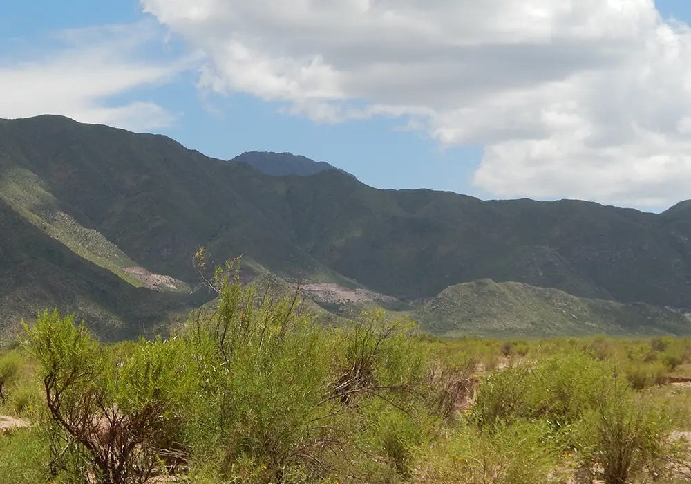
This extensive high plateau lies west of the department, in a higher mountain region. It is recognized both for its natural value and for the local legends that give it its name. Its biodiversity and land, with little human intervention, make it the largest natural reserve in the department and an important meeting point for adventure tourism enthusiasts.
It is located around 29°21′ S and 67°06′ W, reaching an altitude close to 2,000 meters. The climate is more rigorous, with average annual temperatures between 12°C and 15°C. Winters are harsh, with frequent frosts and occasional snowfalls. Strong winds shape its characteristic landscape and high-altitude vegetation.
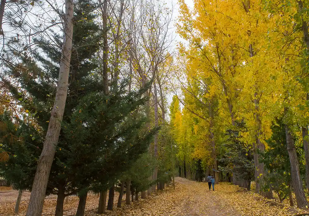
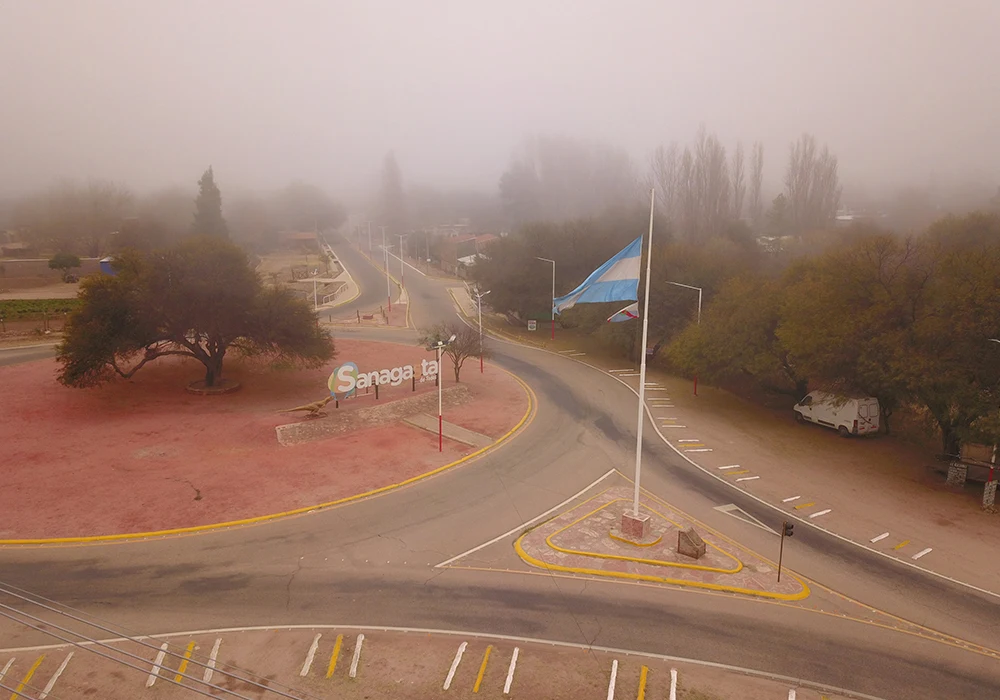
The season with the least direct sunlight exposure (around 7 hours on the shortest days), accentuated by the shadows cast by the sierras. Daytime temperatures range between 15 °C and 30 °C, with cold nights below 15 °C. Cold southern winds blow, often intense, along with occasional warm gusts from the north (zonda wind).
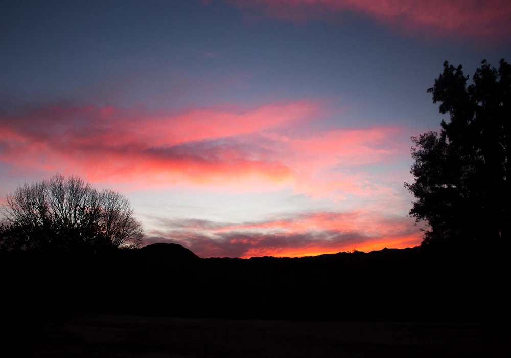
The sky is usually clear, though low-altitude clouds are not uncommon. The surrounding colors shift to shades of yellow, brown, and purple in urban areas, while in wild sectors the greens become duller. It is very common to find landscapes with a strong presence of “golden hues” due to the pigmentation that some plants adopt in their leaves.
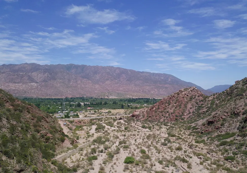
During this season, daylight hours gradually increase. Days remain cold (below 20 °C) and nights register frosts close to 0 °C. Afternoons alternate between temperate and hot, with southern winds less intense than in autumn. The clear skies allow for views of ice and frost cloud formations over the hills, where occasional snowfalls create winter postcards.
By late August, the Santa Rosa Storm may appear, a phenomenon associated with intense, warm zonda winds. The flora shows muted greens, contrasted by the colorful mountain soils that emerge after the fall of the leaves.
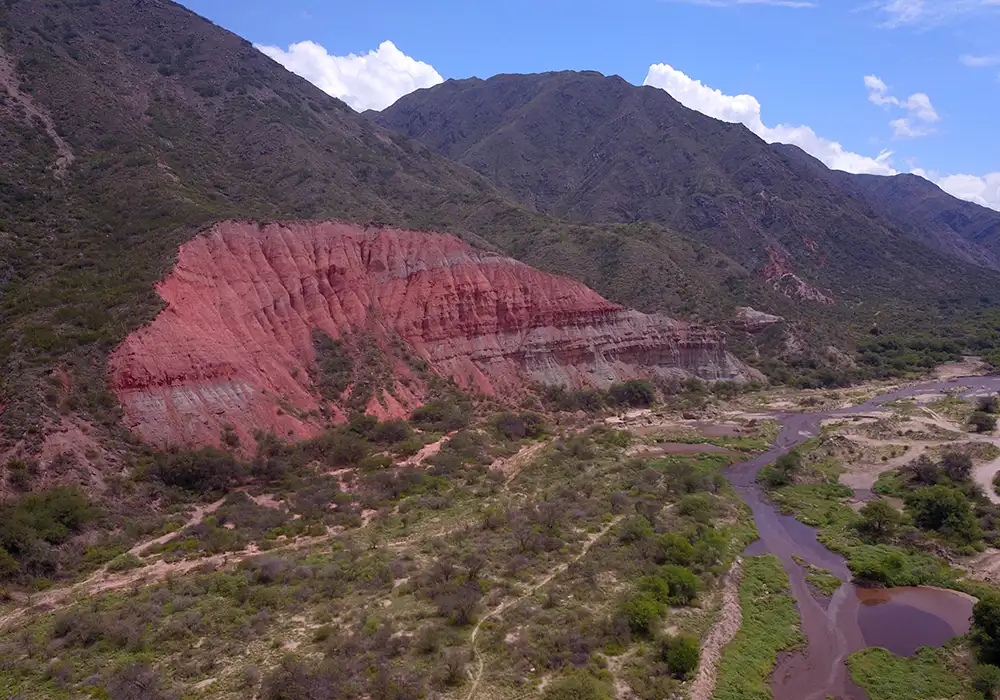
The season of vegetal resurgence and the steady increase of direct sunlight hours. Temperatures become variable, reaching up to 30 °C during the day and dropping to around 15 °C at night. Southern breezes lose their constancy and begin to mix with warm northern winds. Although the sky remains mostly clear, intermittent cloudiness is frequent.
During the course of the season, formations of cumulus and cumulonimbus multiply over hills and mountains, marking the arrival of the first seasonal rains. Groves turn intensely green, and the first blossoms of the warm cycle appear.
The season with the longest daylight duration, up to 16 hours of sunlight. Temperatures are high, with days that can remain between 25 °C and 40 °C for several consecutive days. Afternoons and siestas are often windy and humid. It is the ideal time for the enjoyment of summer and its Chaya festivities.
The skies cloud and clear repeatedly throughout the day, with cumulus and cumulonimbus clouds being common. The latter bring the heaviest torrential rains of the year, including spectacular thunderstorms and sudden downpours that fill usually dry ravines and rivers.
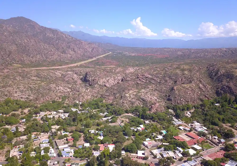
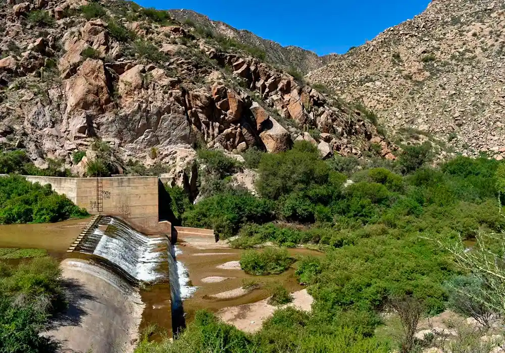
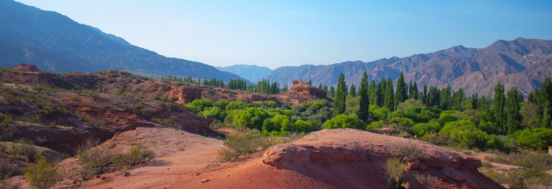
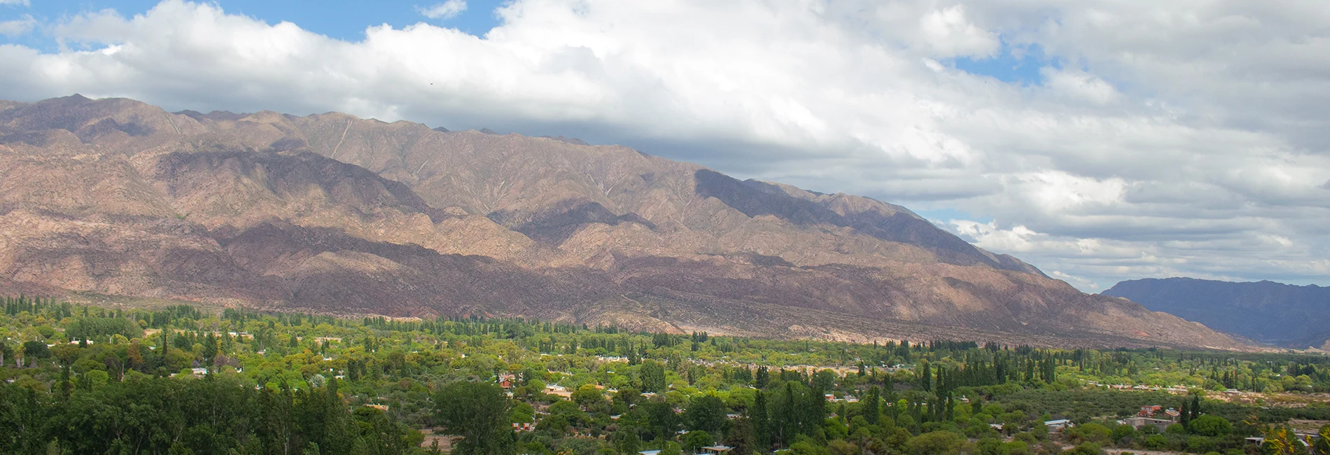
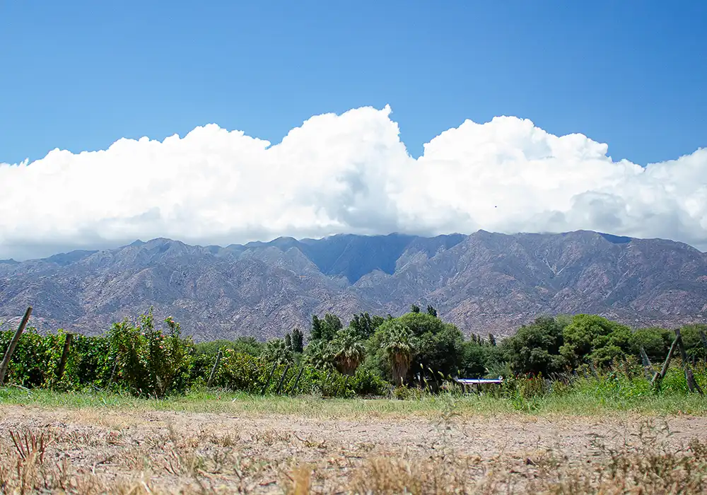
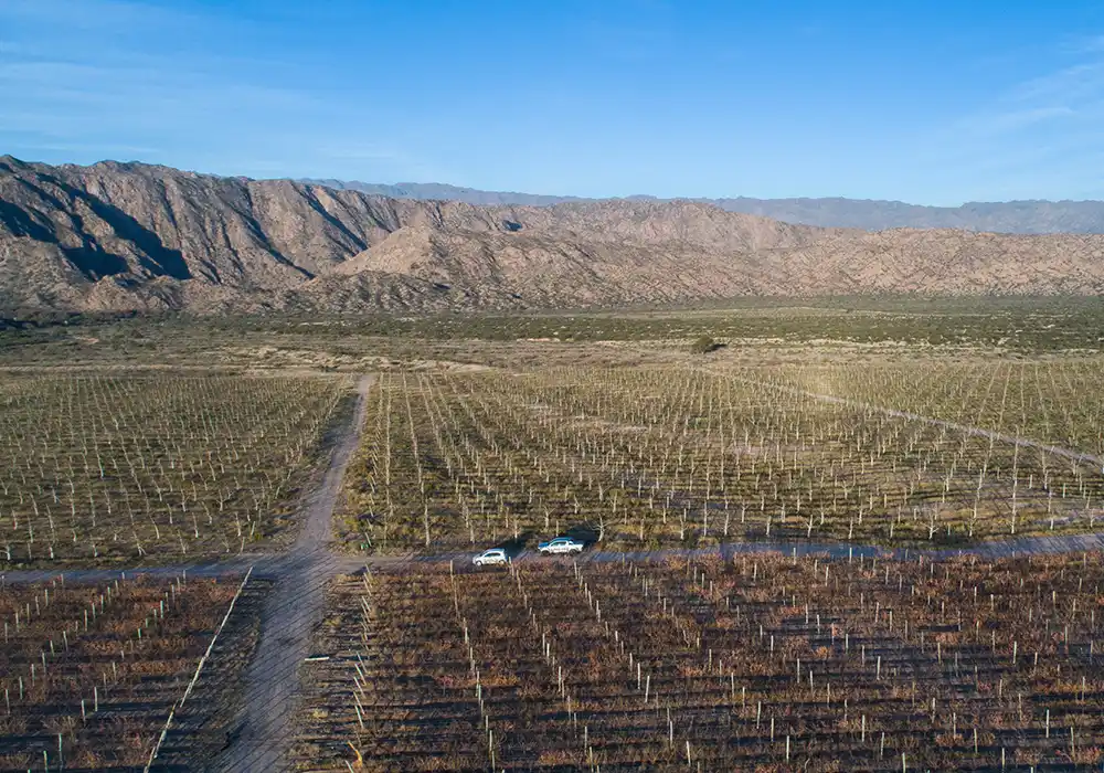
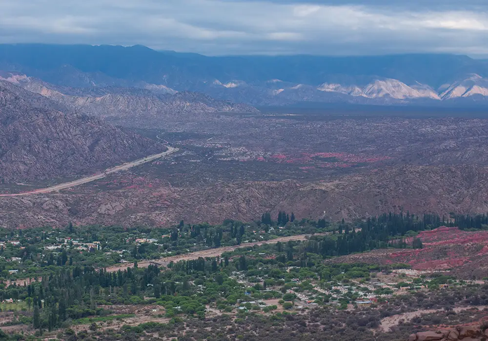
Sanagasta lies in the heart of the central-western sector of La Rioja Province, framed by the imposing Velasco and Sañogasta ranges, part of the Sierras Pampeanas system. This location offers panoramic views of remarkable beauty, with hills outlined against narrow, winding valleys.
As a curiosity, Sanagasta is located right at the gateway to the mountainous hemisphere of the province, which gives it its own microclimate.
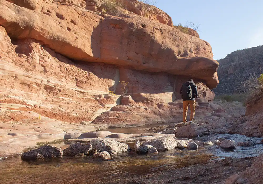
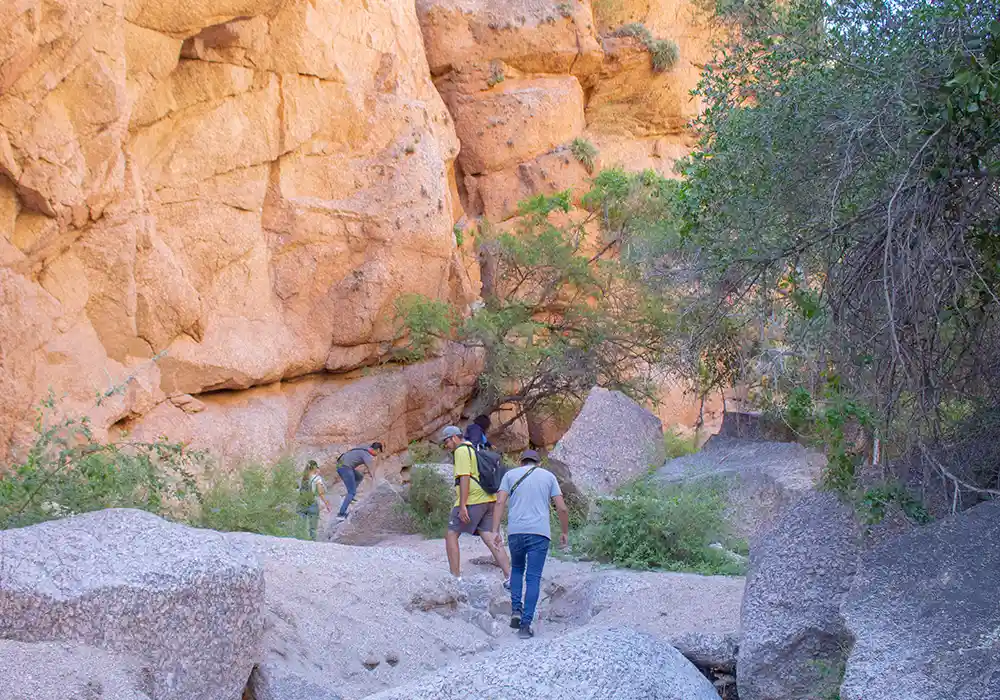
The Sanagasta terrain is like an open book of the region’s geological history. Its relief alternates between rugged mountain profiles and valleys formed by ancient geological faults. These ranges are composed mainly of igneous rocks, such as the granites of Sanagasta and Huaco, which rose millions of years ago from the Earth’s interior.
These formations not only shape the relief and surface but also bear witness to the tectonic movements that molded this part of the continent. A curious fact: many of these rocks contain crystals visible to the naked eye, making them very attractive for those who enjoy geonature.
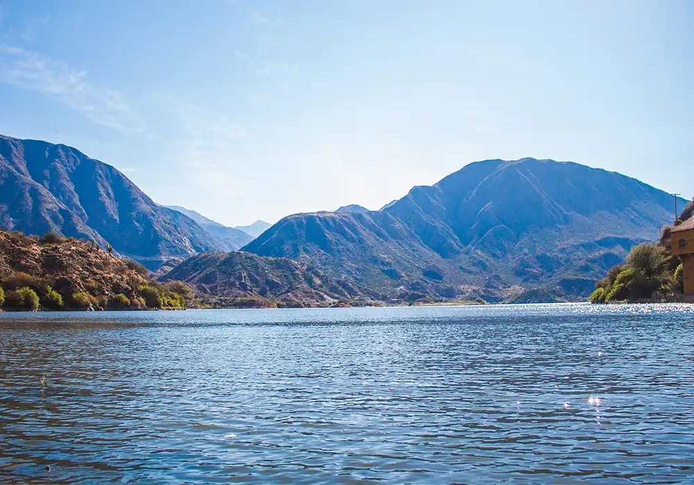
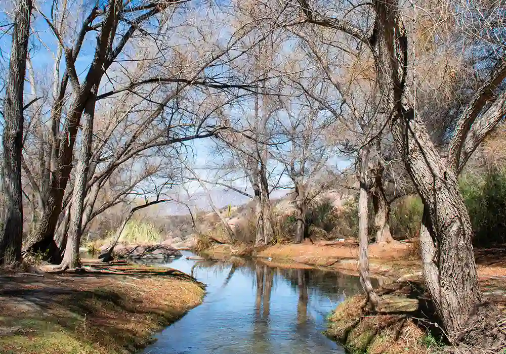
Despite its dry climate, Sanagasta has several seasonal watercourses that descend from the sierras in summer and feed Los Sauces Dam, one of the main water sources in the area. These springs and streams form an endorheic drainage system (which does not flow into the sea), benefiting both the wild environment and local urban life, especially during the rainy season.
The rivers in the area remain largely “inactive” throughout the year until the arrival of the so-called crecientes, caused by torrential summer rains. This mass of water and mud rushes down rivers and ravines with overwhelming force, which is why tourists are advised to respect safety regulations and designated camping areas.
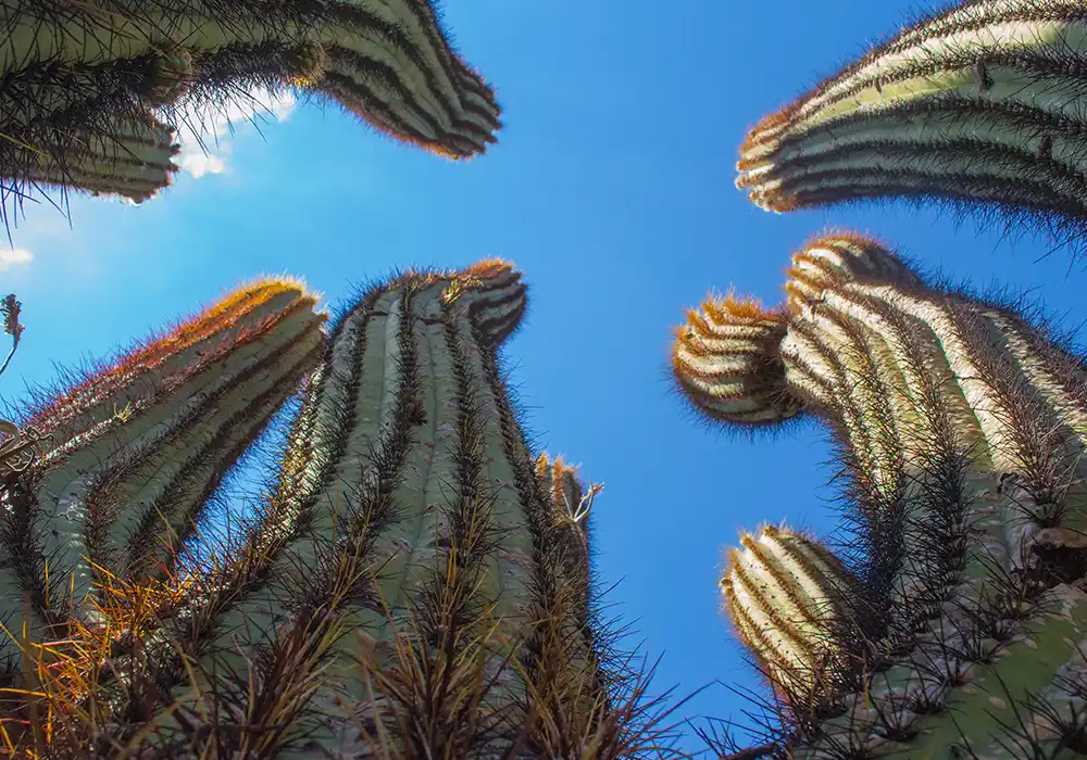
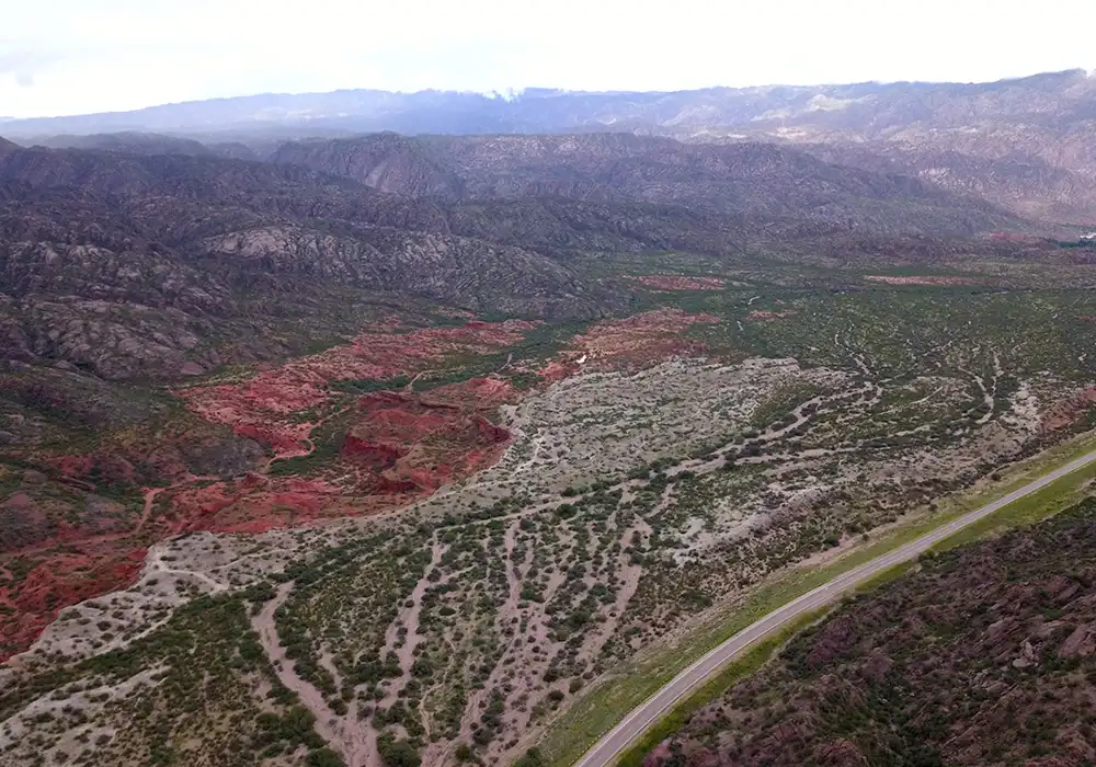
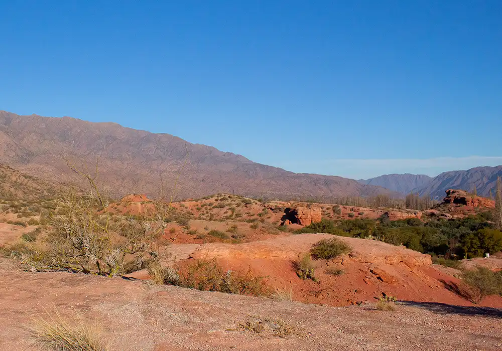
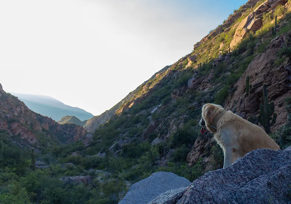
The native vegetation corresponds to the ecoregion of the monte of sierras and bolsones, with species adapted to aridity, most of which do not exceed 3 meters in height. They usually have small leaves (microphylls) or lack them altogether (aphyllous).
Among the most common species are shrubs such as jarilla, pichana, tusca, incayuyo, atamisqui, and others; cacti like hachón, cardón, and penca; trees such as the white carob (algarrobo blanco), tala, and chañar; and the most common herb accompanying any serrano environment of La Rioja: chaguar.
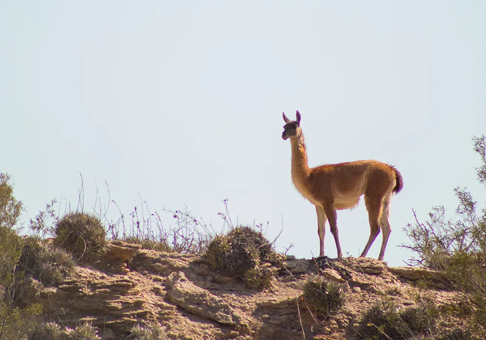
Characteristic species include guanacos, gray foxes, armadillos, vizcachas, and pumas that inhabit the less-disturbed valleys and slopes. Reptiles such as iguanas and lizards can also be found, along with small species of amphibians and mammals adapted to the dry climate, geography, and local urbanization.
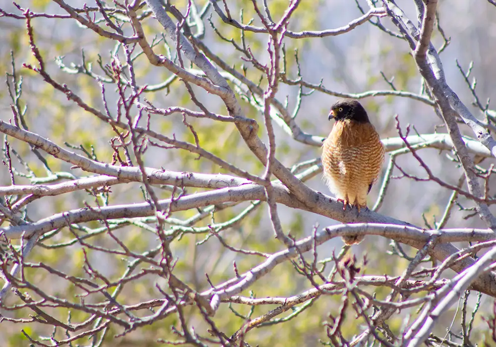
The area is especially attractive for birdwatching, with Andean condors, black-chested buzzard-eagles, peregrine falcons, and several species of parrots, vultures, and cardinals. This biodiversity, combined with the imposing landscapes and the tranquility of the environment, makes Sanagasta an ideal destination for nature lovers and wildlife photography.
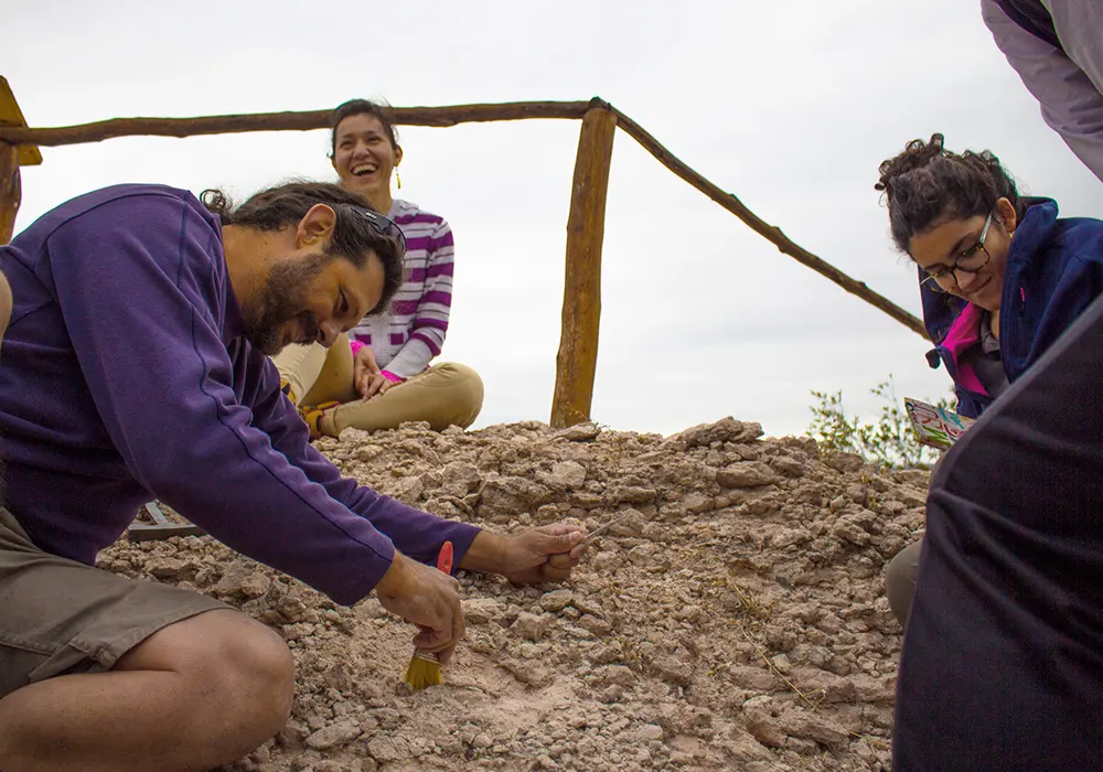
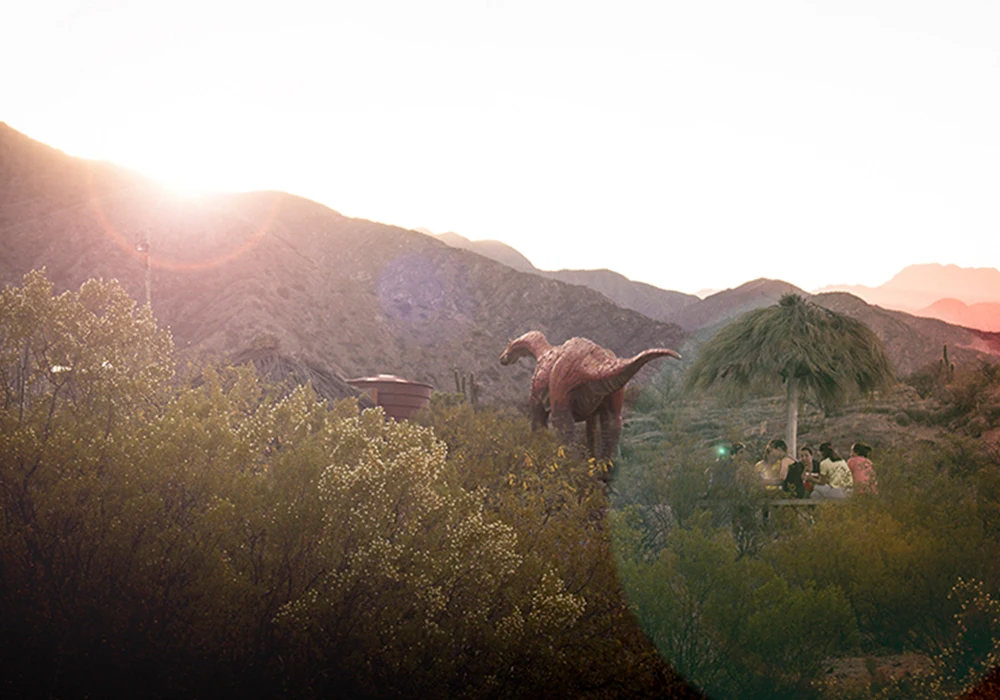
A particular geological and paleontological feature of Sanagasta is the presence of the Sanagasta Geological Park, which preserves Cretaceous deposits containing sauropod dinosaur nests. Studies indicate that the site was formed in a hydrothermal environment associated with volcanic activity during the Late Cretaceous. More than 80 fossilized nests have been identified, a unique finding in South America.
Coincidentally, in this same area lies the “Salamanca,” a place of esoteric culture and local mystery. Today, the Dinosaur Theme Park and the Witches’ Cave Theme Park can also be found within the extension of the geological park.
To make your trip even more memorable, here are some tips that may be very useful.
If you go to the mountains or ravines, wear footwear with good traction.
If you encounter loose animals, contact the police.
Do not expose yourself to the zonda wind, especially in summer.
Carrying repellent is a good idea in spring and/or summer.
The fresh breeze does not lessen the impact of the sun, use sunscreen.
Be cautious to avoid altitude sickness.
They are sudden and somewhat intense; it is best to take shelter.
You may feel abrupt temperature changes in less than an hour.
Help preserve the place so others can enjoy it too.
It features slopes, cliffs, and winding curves; drive carefully.
Familiarizing yourself with Villa Sanagasta’s main avenue can greatly ease navigation.
In some mountain areas there may be no signal. Always have a backup plan.
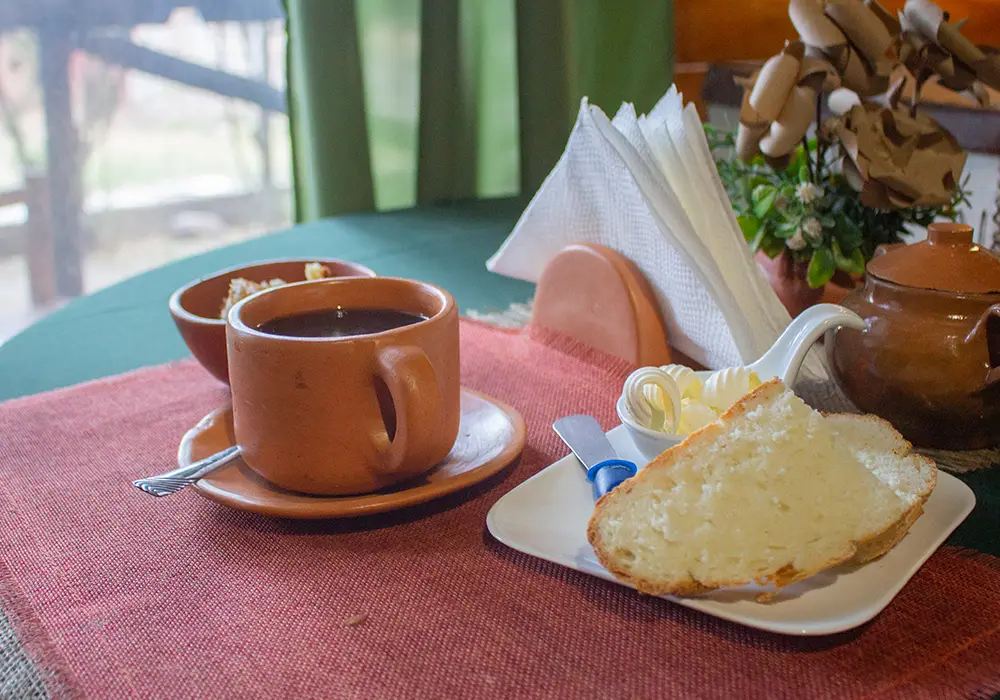
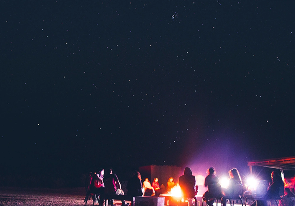
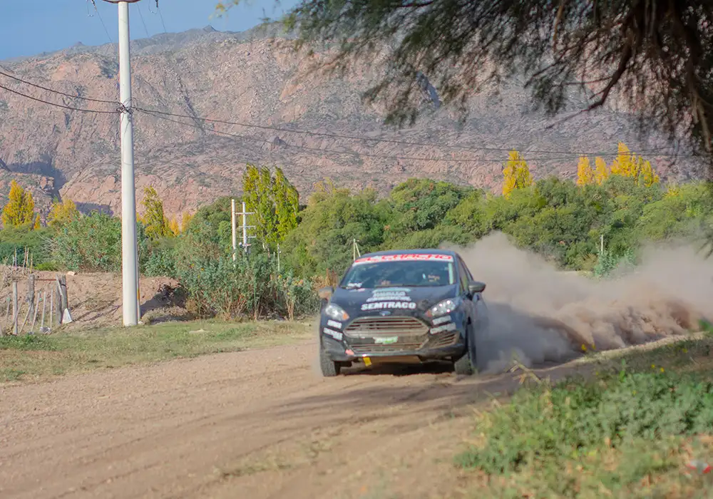
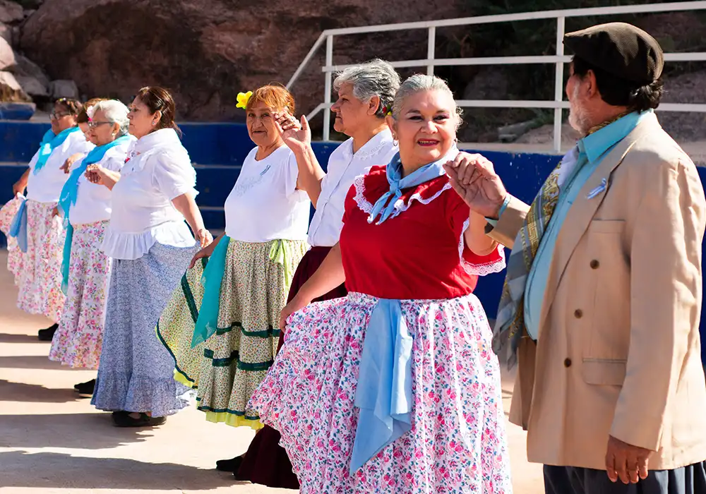
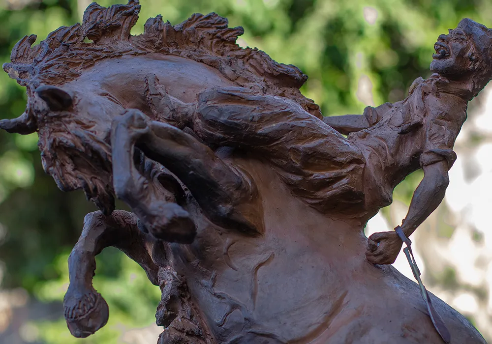
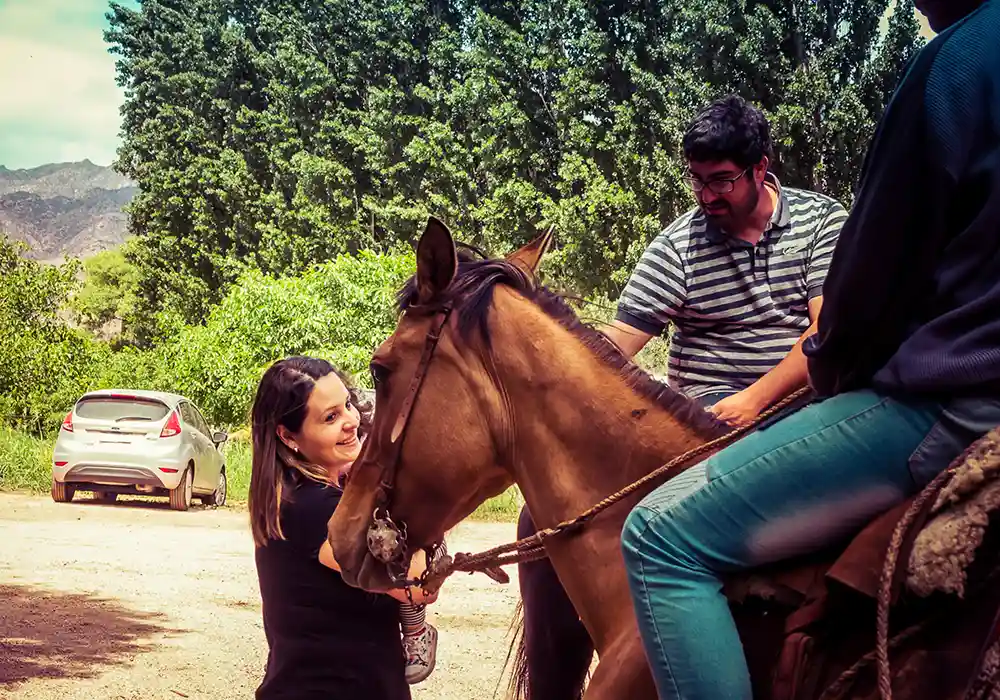
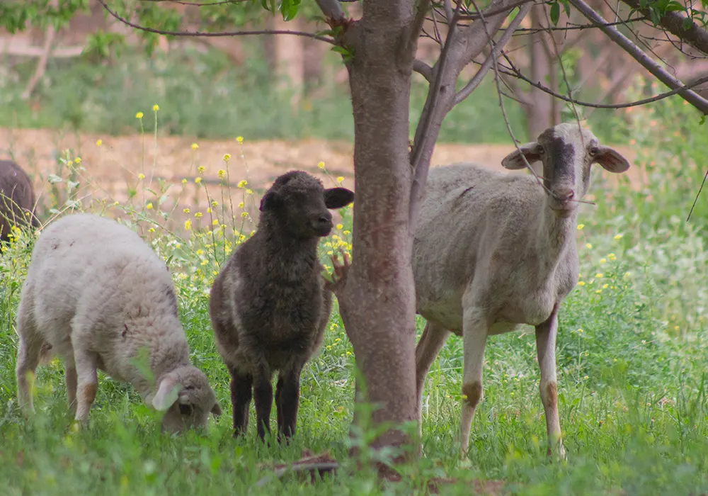
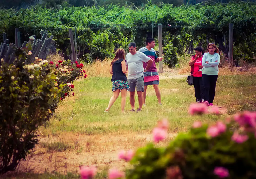
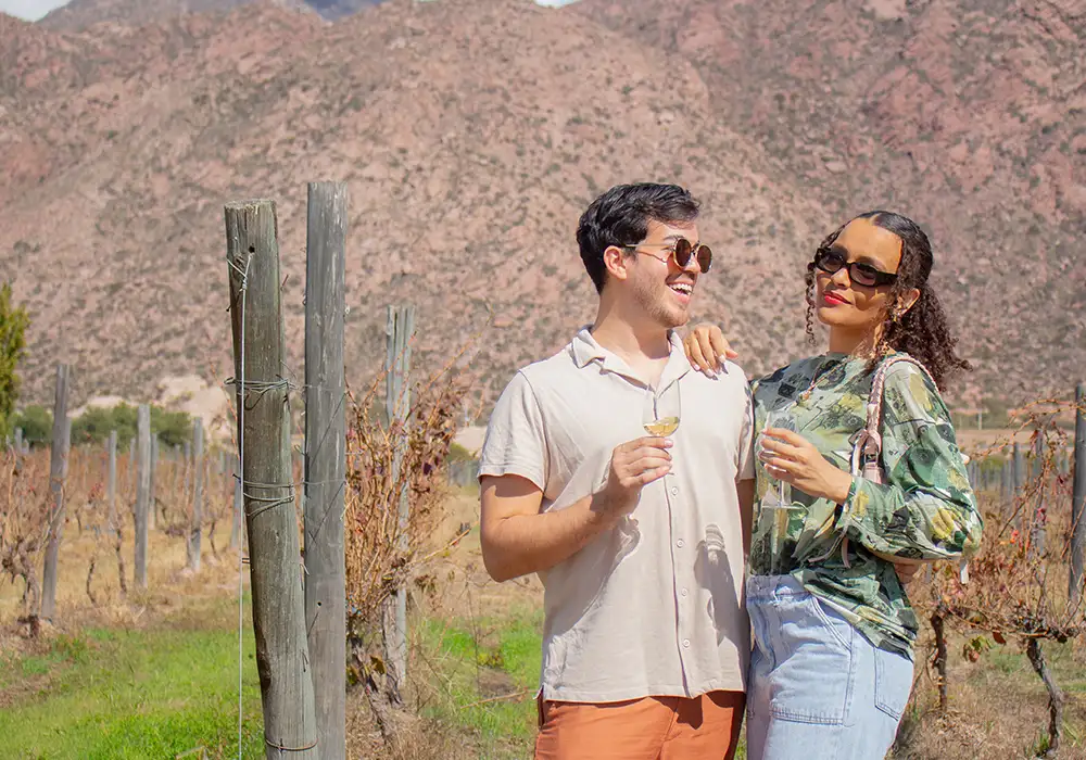
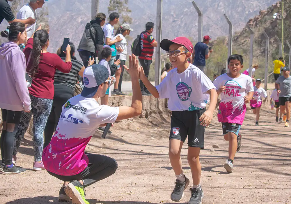
A brief glimpse of the images that Sanagasta has to offer.


Interactive map showing the location of Sanagasta, La Rioja, Argentina.